


![]()
Walk Ride U.S.A.
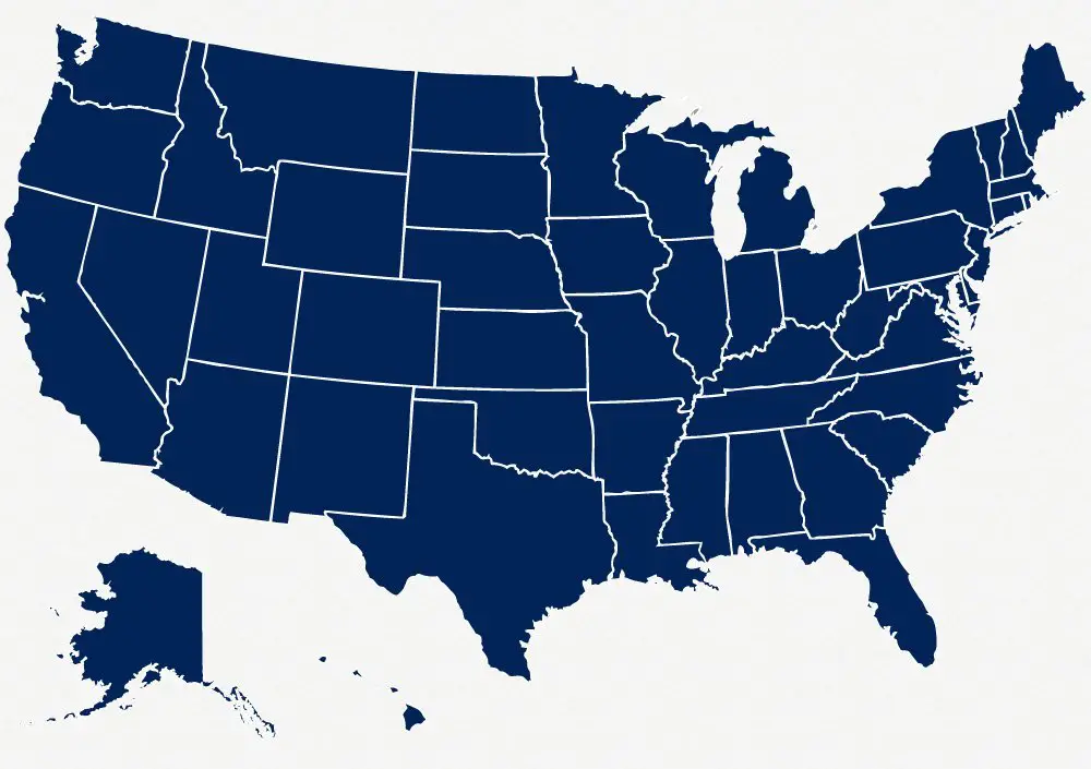
Walk Ride U.S.A. contains maps of recreational trails for all 50 states and over 450 communities within the United States. Our maps also include individual maps and descriptions for many of the major recreational trails within each state.
What are recreational trails?
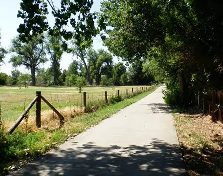
When we refer to recreational trails, we mean paved or unpaved multi-use trails for bike riding, running and walking that are constructed by states, counties, cities or other government agencies for the general public.
These are the trail systems that are intended for cycling, walking or running, but they also serve as access trails for many other recreational activities, such as: bird-watching, fishing, educational field trips, commuting to work, rollerskating, walking the dog, horse-back riding and generally enjoying nature.
The trails that we present may not be open for all activities, so always be aware of local rules and regulations when using these trails.
Building on the success of the WalkRideColorado.com website, we have created Walk Ride U.S.A. as a separate website to cover other areas of the country.
Our Goal
Our goal is to present a good overall view of the trail systems throughout larger areas that cover multiple cities or counties on a state by state basis. We provide Google based maps for navigating the trail and general descriptions of the area and the major trail systems.
All of this information on these trails is available on-line, but in many cases it is only presented on the websites of the local communities. This information is not standardized and it is not always easy to find out the details. We hope to make the process of researching information about these paths easier and faster.
It is not feasible to provide every detail about every trail, nor provide current conditions of these trails. This is why we provide the local links that will have more up to date conditions and contact information.
We hope to generate more interest in these trails so that local communities realize how much the trails are appreciated by the community and the visitors.

Our Maps
Our maps ar overlays on Google maps. Because they are based on Google maps, they load relatively quickly vs. bulky .pdf files. The maps are zoomable so you can see right down to individual intersections or zoom out to see the entire length of the trail or view intersecting trails, parks, schools, etc.
The maps all have the option of seeing the Satellite view (click on the buttons in the upper right corner). The Satellite view allows you to see details such as buildings, roadways, parking lots, picnic shelters and restroom facilities.
Scales for the map are provided by Google, and are located in the lower right side of the map. They are not the best for gauging distances, but they give you some idea of the current scale of the map.
Our Handy Distance Tool
Most of our maps have a handy distance tool that you can use to help you figure out distances. The tool is available by clicking on the MEASURE box in the lower left corner.
As you click from point to point. the total milage will show in the box and each point has a small red triangle. You can click on the triangle to see the total distance to that point from your point of origin.
Off-site Resources
We also have links to the official community websites and other resources to find out more about individual trails on all of out trail description pages.
What we don't cover
This site does not cover hiking trails. This is not in our scope. We want to cover the wider paved and unpaved trails for the general public, built by local governments, that travel through urban, residential and rural areas.

Tweet